

Mark’s Clips
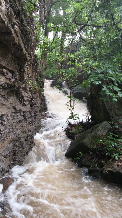
Right on the Bruce Trail at 30 Road South
Canada’s Great Trail is connected
BY IRENE MIDDLEMAN THOMAS THE SECURITY AGENT brightened when he read the logo on my T-shirt as I went through the Ottawa airport scanner. “The Great Trail? I’ve hiked it in six provinces and one territory,” he announced proudly.
The Great Trail (thegreattrail.ca) was begun in 1992, during the 125th anniversary of Canada’s confederation. In 2017, in honour of the 150th anniversary, the trail was connected to form a staggering 24,440 kilometres of continuous multi-use trail connecting Canada from coast to coast.
Coast to coast
The Great Trail passes through every province and territory, connects 15,000 communities and is commonly known as the world’s longest recreational trail. The largely community-volunteer-based Trans Canada Trail organization, based in Montreal, promotes and oversees its development and operation.
“We changed the name from Trans Canada Trail to The Great Trail to explain not only what the Trail is, but what it offers Canadians and visitors,” explains Costco member Jérémie Gabourg, marketing manager of The Great Trail. “Eighty per cent of Canadians live within 30 minutes of a section of the Trail, which promotes better health, environmentally friendly activities and our diverse culture.”
The non-profit trail is a free, open-to all resource for hiking, walking, cycling, snowshoeing, horseback riding, cross country skiing, and even canoeing and kayaking alongside the trail. The trail is really a network of more than 430 trails of differ
ent types and in different regions-ranging from wild to urban, footpath to paved trail, and waterways to, at times, actual roads.
Three recommended sections
Yukon. This northwesternmost part of the trail features part of the the original 2,000-kilometre-plus Klondike Highway, which brought gold rushers to the area in 1898. Great Trail trekkers can now travel from Whitehorse to Dawson City on a paved road, following the old dogsled route along the Yukon River, surrounded by dense forests, lakes, rivers and creeks, and wildlife. Highlights include the stop at Lake Laberge and the First Nation Tagé Cho Hudän Interpretive Centre.
Ontario. With more than 5,200 kilometres of The Great Trail, Ontario has the largest section in Canada, running from Windsor to Ottawa and west along waterways to the Manitoba border. The first section of the trail to be completed, the 25.7-kilometre rails-to-trails Caledon Trailway begins in Terra Cotta and passes through lush green valleys and hills filled with creeks, flowering bushes and trees, and picturesque villages lined with Victorian homes and delightful inns, on its way through Caledon East, passing the trail’s first pavilion.
Quebec. The P’tit Train du Nord trail goes from Montreal to Mont Laurier, running through the magnificent Laurentians on a railway line built in the 1890s. The trail features spectacular scenery, including lakes, rivers and mountains, and is dotted with delightful tourist-friendly towns flush with shops, hotels and inns, campgrounds, pubs and bistros. Many of the old train stations are now information centres, rest areas and cafés. The nearly 236-kilometre P’tit Train du Nord is relatively flat. The trail runs downhill from north to south, letting cyclists coast for long stretches in several areas. C
Irene Middleman Thomas (irenethomas. com) is a Colorado-based writer.
EXPLORING THE TRAIL
THE GREAT TRAIL map (thegreattrail.ca/ explore-the-map) is also part of a mobile app (available for ios and Android devices) that allows users to zoom in and out of The Great Trail, and to use GPS to self-locate. The app’s map helps users plan routes by dropping pins, calculating distances between point A and point B, and the Activity Tracker uses GPS to monitor journeys, reporting the time, elevation and distance travelled.—IMT
You would not believe I have found this graet article in Costco magazine . Map is amazing.
Mark Pniewski

